Walk to Lunch with us!
Warner Center Transit Hub
located on Owensmouth Ave. between Oxnard and Erwin
Thursday, November 21
11:00am-2:00pm
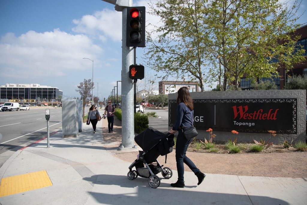
On Thursday, November 21 we will host a “walk audit” event to help move Warner Center closer to becoming a more walkable neighborhood, and we need your help!
Join us on the 21st and sign up to use our mobile Walk Audit tool. We’ll give you a gift card which you can use towards lunch at a local restaurant, and ask you to record strengths and challenges about your walk there. The goal is to spread out around Warner Center so we can get a wide range of comments and suggestions for the entire area.
If you’ve ever taken a stroll through the area and had the idea “hey, we could use a crosswalk here” or “I wish we had more walkways as beautiful as this one,” then this is a great opportunity to come out and help shape the future of your community!
Planning to join us? Please let us know:
https://forms.gle/B9ACUQinHcJJvVM7A
Frequently Asked Questions
What is a Walk Audit?
A walk audit is an evaluation of the environmental conditions, such as buildings, sidewalks, and parks that can impact the walkability of a particular geographic area. Once completed, walk audits can help stakeholders identify and correct issues that affect pedestrian accessibility.
How will this event work?
To promote active transportation in and around the Warner Center community, we have developed a web-based Walk Audit tool that will help residents and visitors assess the area’s walkability. Volunteers will use the tool to help us identify what problems might affect pedestrian travel in Warner Center. We hope that by enlisting community members to participate in a walk audit of the area we can help create a more accessible, pedestrian-friendly, and walkable neighborhood for all.
What factors can impact walkability?
Built and natural conditions can impact the walkability of a neighborhood. The presence or lack of features such as street lighting, sidewalks, bicycle lanes, and paths, etc. can affect the ability of a pedestrian to safely and easily navigate an area.
How will this information be used?
Once you have finished identifying and logging features in the area, we will share major strengths and challenges with the City to so that issues can be resolved and improvements can be made wherever possible.
How do I participate?
Just show up and bring your personal mobile device, we’ll show you the rest when you get there!