What is the Warner Center Mobility Map?
–
The Warner Center Mobility Map is an interactive web map that displays all of the rail, bus and bicycle options which serve the Warner Center area. As an interactive map you are able to pull up information that applies to your commute specifically. For example, you can click on mobility options of interest and find details about them in their pop-up tables, including their updates routes and schedules! You can also type in any address or place name in the lookup bar, like your home or destination, and see nearby mobility options.
–

–
How to use the Mobility Map
–
Map Definitions
–
LA Metro Bus Stop: Colored red on the map. You can identify the bus lines at your selected stop by selecting the bus stop and clicking the arrows on the bottom right corner of the popup to display all bus lines serving that station.
LA Metro Bus Routes: Colored light orange on the map. You can view bus routes by selecting the light orange lines on the map.
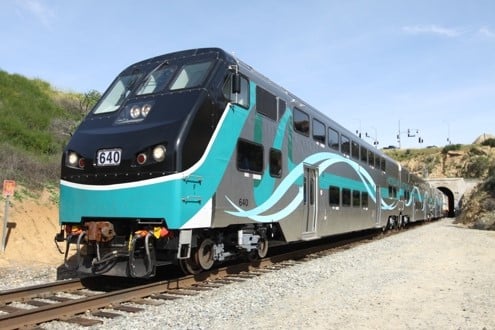
LA Metro G Line: Colored orange on the map, and thicker than the other LA Metro Bus Routes. The G line is a Bronze Standard Bus Rapid Transit route connecting to Metrolink at Chatsworth Station Northbound, and connecting to LA Metrorail B Line Eastbound.
Bikeways: Bikeways are colored light blue on the map. They are listed as four different types, specified below. You can view bike lane type by selecting the light blue lines on the map.
- Type 1 (Bike Path): Off-street paved path, intended exclusively for non-motorized use. Electric-assist and electric-powered mobility devices (e.g. electric bikes) allowed as per CA State Statute**
- Type 2 (Unprotected Bike Lanes): On-street striped travel lane, for the exclusive use of bicycles.
- Type 3 (Bike Route): On-street shared travel lane, shared space with other vehicular traffic.
- Type 4 (Protected or Separated Bike Lanes): On-street striped travel lane, exclusive use of bicycles. Unlike Type 2, these bike lanes ae protected by barriers, flexible posts, or on-street parking.
More on bike classification can be found here on page 1000-3: CHAPTER 1000 (ca.gov)
Warner Center Shuttle: Run by LA Metro, the shuttle provides 10 stops that improve access to Westfield Topanga, The Village, Warner Center Corporate Park, Kaiser Permanente and other nearby locations. The new shuttle will travel in both directions, run seven days a week and run every 10 minutes most times of the day. The Warner Center Shuttle is colored purple on the map and is identified as bus line 601.